Mapping the Future with Digital Precision.
Your trusted provider of professional land surveying services committed to accuracy, innovation, and customer satisfaction.
Learn About Our TeamPrecision Meets Experience


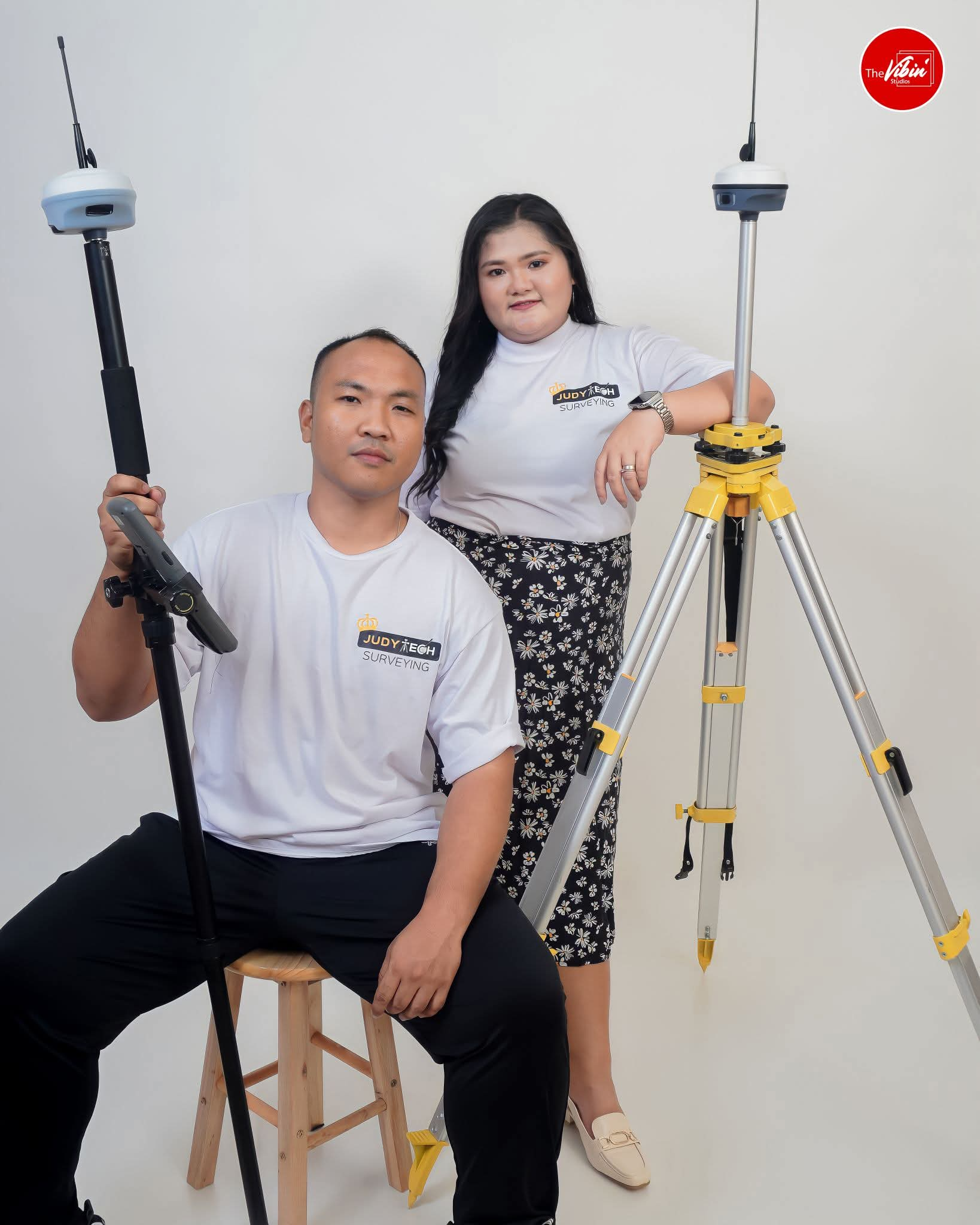
About JudyTech Surveying
JudyTech Surveying is a trusted provider of professional land surveying services committed to accuracy, innovation, and customer satisfaction. Our name, JudyTech, embodies our founder's "Judy" representing our licensed Geodetic Engineer and "Tech" symbolizing our dedication to utilizing advanced technology for precise and efficient surveying solutions.
For over five years, we have successfully conducted relocation surveys, topographic surveys, fast subdivision approvals, and land dispute resolutions. Our team is equipped with extensive expertise and modern surveying methodologies to deliver reliable results.
At present, JudyTech Surveying is comprised of a skilled team of three engineers, two Geodetic Engineers and one Computer Engineer, allowing us to serve more clients with efficiency and precision. Our commitment to excellence and technological advancement ensures that we meet the highest industry standards, making us a dependable partner in land surveying solutions.
Our Expert Services
We offer a comprehensive suite of geodetic engineering services. Select a service from the navigation to discover the process, requirements, and deliverables involved.
Relocation Survey
Provides the exact identification of existing property corners to re-establish boundaries and verify property positions against bordering lots.
What are the Requirements?
- Land Title (for records check)
- Tax Declaration
What are the Deliverables?
- Research
- Technical description
- Blue print (Survey plan)
- Certification signed and sealed by Geodetic Engineer
- Establishment of boundery monument (mohon)
Subdivision Survey
The process of dividing a large piece of property into smaller, legally defined sections, as specified by the owner or designer.
What are the Requirements?
- Copy of Land Title
- Copy of Tax Declaration
- Deed of Conveyance (if available)
What are the Deliverables?
- Advance Sketch Plan
- Placement of Concrete Monuments
- Approved Subdivision Plan (Sepia & Blueprint)
- Technical Description of Approved Plan
Topographic Survey
Illustrates the configuration (relief) of the ground and the position of natural and man-made objects for elevation and slope analysis.
What are the Requirements?
- Subject for a Relocation Survey
- Copy of Land Title & Tax Declaration
- Prescribed Contour Interval (1-5m)
What are the Deliverables?
- Relocation Plan
- Topographic Plan
- Raw Topography Data (upon request)
Original Survey
A survey performed when no prior approved plans or records of the subject property can be located, establishing official boundaries for the first time.
What are the Requirements?
- Copy of Tax Declaration
- Survey Authority Approval
- Deed of Conveyance
- Barangay & Court Certifications
What are the Deliverables?
- Approved Original Plan (Sepia & Blueprint)
- Technical Description of Original Plan
- Documents for Land Title Application
Resurvey
A survey conducted to verify and correct errors found in a prior survey after a thorough evaluation of field and record information.
What are the Requirements?
- Copy of Land Title
- Copy of Tax Declaration
- Deed of Conveyance (if available)
What are the Deliverables?
- Advance Sketch Plan
- Placement of Concrete Monuments
- Approved Resurvey Plan (Sepia & Blueprint)
- Technical Description of Resurvey Plan
Our Proven Track Record

On-deck: Project 188 hectare (3D DSM/TSM) Cebu
New Technology offered:LIDAR TECHNOLOGY
View Case Study →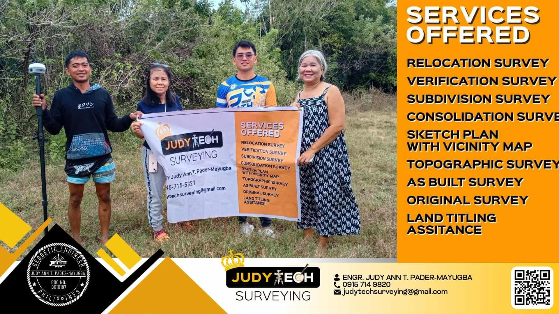
8 lotS Subdivision Survey
8 lotS Subdivision Survey at URDANETA CITY
View Case Study →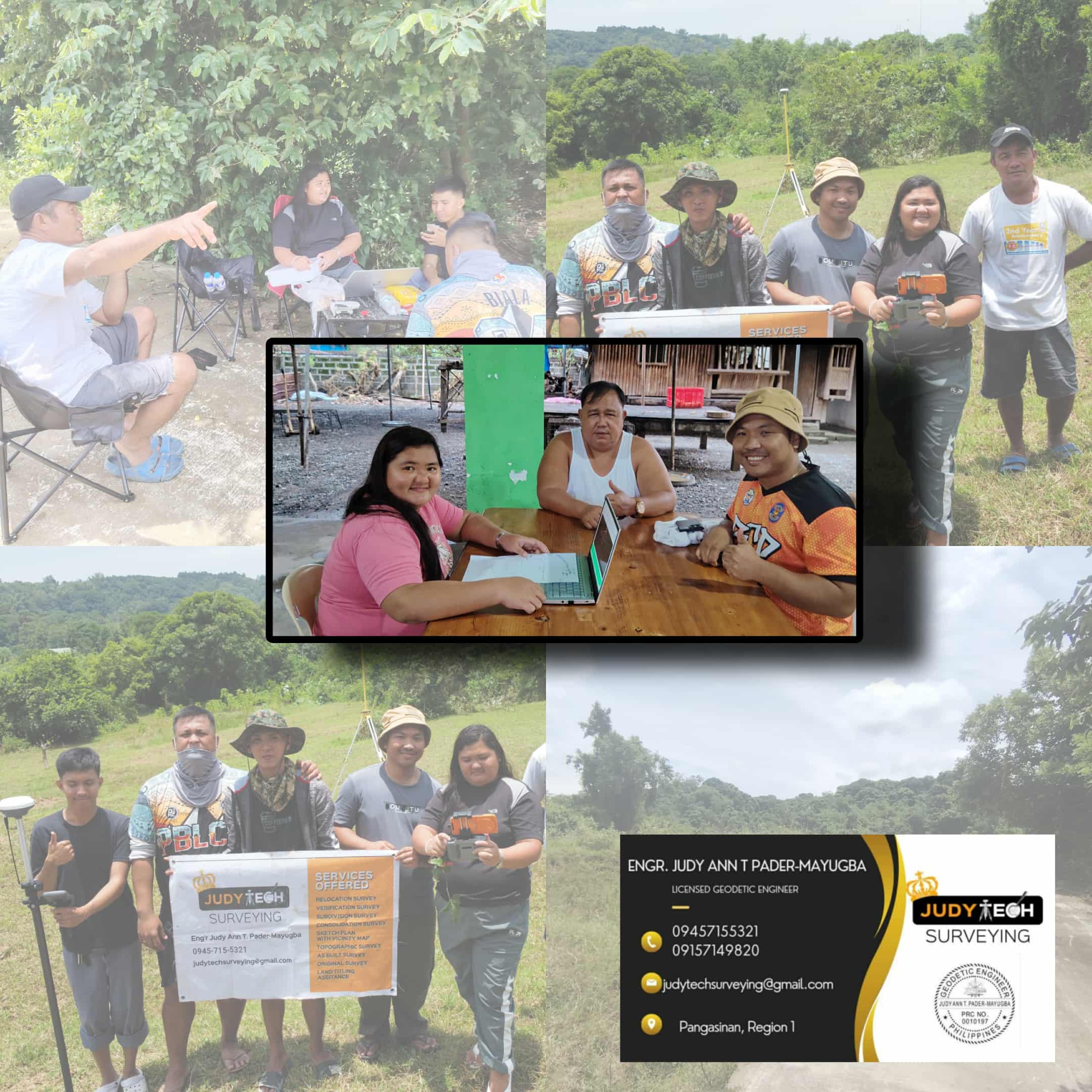
Relocation Survey at San Fabian Pangasinan
Relocation Survey at San Fabian Pangasinan with entrusted by the Municipal Vice Mayor of the same Municipality
View Case Study →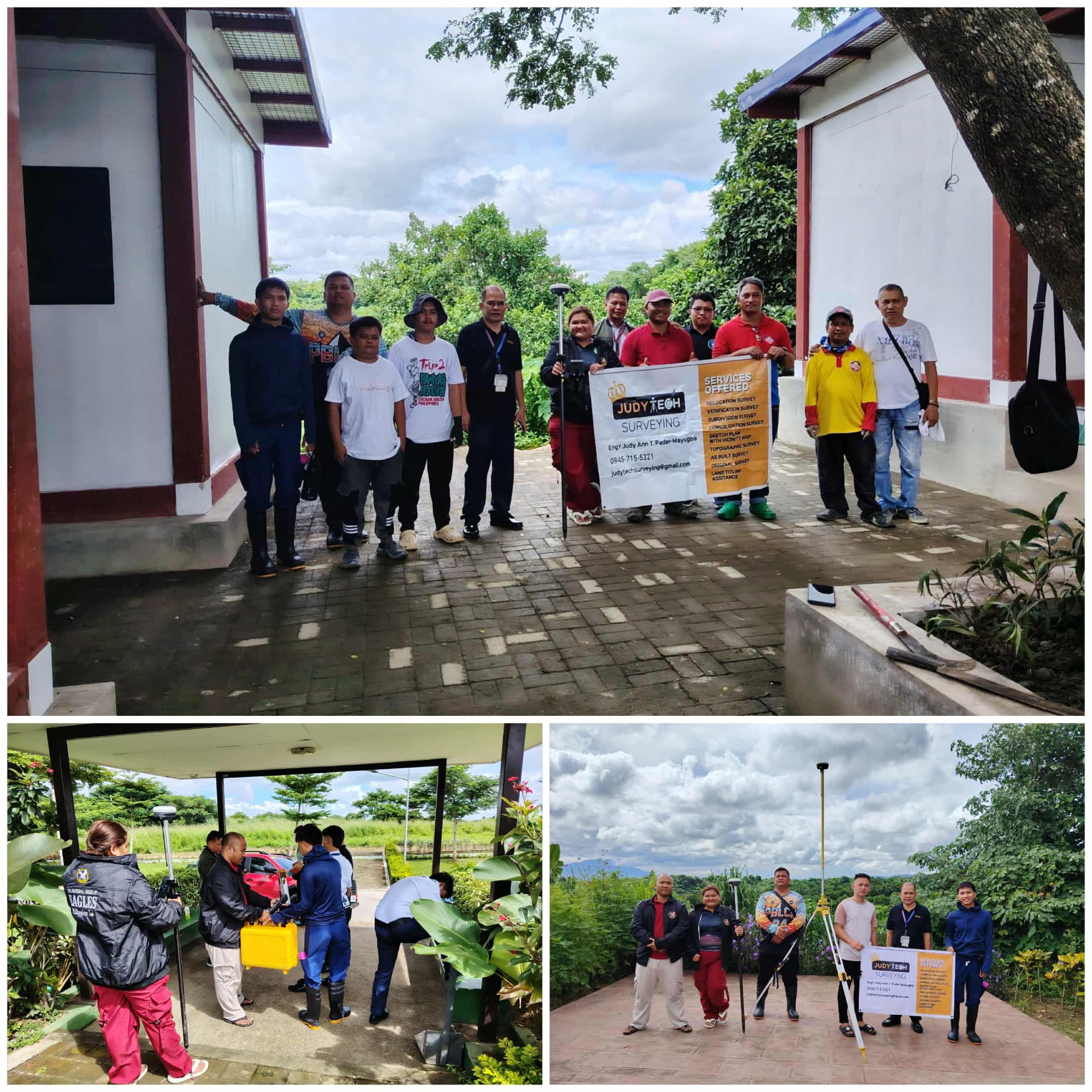
65 Hectare Topographic- Relocation Survey
65 Hectare Topographic- Relocation Survey with MMDA Located at ECO-PARK, CARMONA CAVITE
View Case Study →
8 hectare RELOCATION- TOPOGRAPIC
8 hectare RELOCATION- TOPOGRAPIC Client: PRYCE GAS INC ADDRESS: SAN FABIAN, PANGASINAN
View Case Study →